


boucle la Bresse - lac des corbeaux - rocher du lac - étang de sechemer - la Bresse

fbienmuller
User
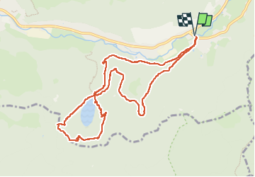

Length
10.6 km

Max alt
1121 m

Uphill gradient
463 m
Km-Effort
16.7 km

Min alt
718 m

Downhill gradient
463 m
Boucle
Yes
Creation date :
2025-07-24 07:51:45.534
Updated on :
2025-07-24 11:33:32.976
3h20
Difficulty : Medium

FREE GPS app for hiking
 SityTrail
IGN / Geographical institutes
SityTrail Plus
The world is yours!
About
Trail Walking of 10.6 km to be discovered at Grand Est, Vosges, La Bresse. This trail is proposed by fbienmuller.
Description
ça grimpe bien mais pas trop raide. Chaussures de randonnée conseillées
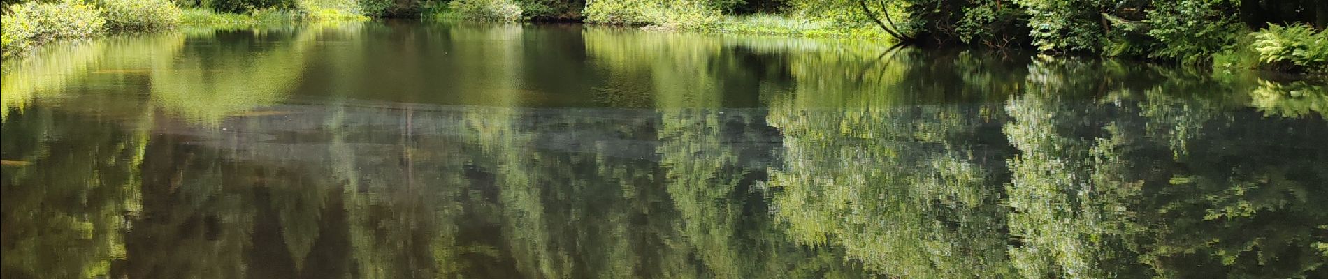
Photos


Positioning
Country:
France
Region :
Grand Est
Department/Province :
Vosges
Municipality :
La Bresse
Location:
Unknown
Start:(Dec)
Start:(UTM)
345622 ; 5318722 (32U) N.
Comments